Pilica
Pilica is the longest left-bank tributary of the Vistula River. It is located in the south and central parts of Poland near Częstochowa and Piotrków Trybunalski. It flows, among others, through Szczekociny, Sulejów, Spała, Białobrzegi and Warka to the Vistula River. Pilica meanders among vast meadows, woods, marshes forming small islands and curves. In the middle part, between Sulejów and Smardzewice there is a big reservoir – Zalew Sulejowski, which is the biggest reservoir in the central Poland. Surroundings of the river are also worth touring as the river flows through Polish Jura. Kayakers might be interested in visiting the first in Poland Heritage Park of the Pilica River in Tomaszów Mazowiecki.
Pilica kayaking route
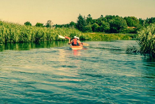
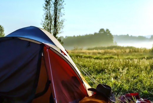
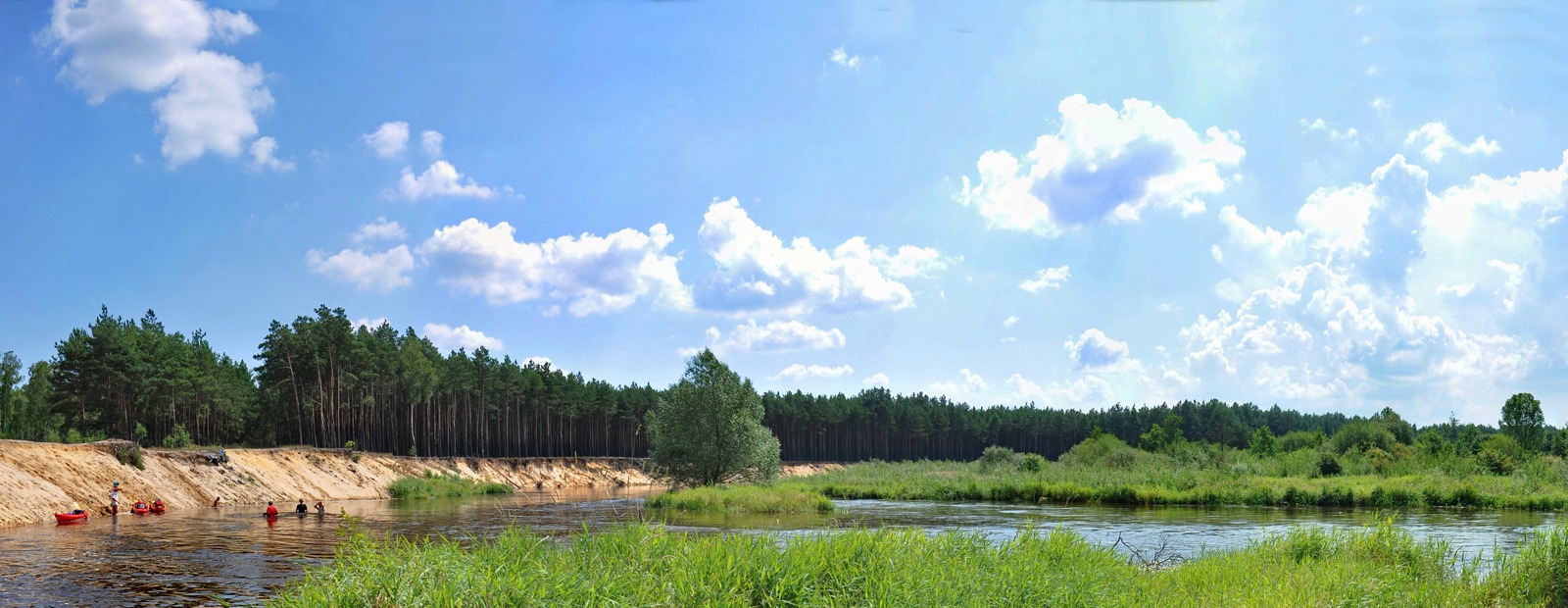
The river is a very interesting, diversified, flat water kayaking route with many pleasant camping spots. The river is available for kayaking from Szczekociny but we usually start in Maluszyn. The middle part from Maluszyn to Sulejów is excellent for kayaking even for amateurs. It is not as wide as those parts closer to the Vistula River and at the same time it is much easier than upper parts. The route is about 90 km of a river without any portagings, with many good spots for swimming so it’s perfect for those with kids. Kayaking from Maluszyn to Sulejów usually takes 5 days.
The distance
| 237,8 KM | (l) Maluszyn, a grocery shop, a new bridge on route no. 785 from Ciężkowice to Włoszczowa, we start a kayaking trip on a camping site right behind the bridge on the right bank, it’s got a very convenient access road, a volleyball court, a beach. The cars may be left at the village administrator’s property in Maluszyn. To Sulejów the river meanders but is wide, without obstacles, with many good spots for camping. |
|---|---|
| 231,4 KM | (r) Sudzinek, a small bridge |
| 226,8 KM | (r) estuary of Czarna Włoszczowska |
| 221,8 KM | (r) Bobrowniki, a small bridge |
| 220,0 KM | (r) Kajakiem.pl camping site, a wooden bridge 400 m further, (l) Krzętów village |
| 210,9 KM | (r) Biały Brzeg, a good place for camping |
| 202,4 KM | Przedbórz, some shops, a restaurant, a bridge on route no. 42, from Radomsko to Końskie, before the bridge there is a small stone bar, you can finish your trip before the bridge (r) on the beach with a volleyball court, the best spot to start the trip is behind the bridge (l) |
| 191,9 KM | (r) Taras village, a camping site |
| 189,0 KM | (r) Faliszew village, a footbridge |
| 184,0 KM | (l) Łęg Ręczyński, the beginning of Sulejowski Landscape Park |
| 176,0 KM | (l) Trzy Morgi, a high bank with an extraordinary view, a grocery shop in summer months, possible camping site (ask in the grocery shop) (r), |
| 173,0 KM | a curve to the left, a high, sandy bank – a good spot for a break or camping |
| 168,0 KM | (l) a holiday resort Biała, possible accomodation |
| 164,0 KM | (p) estuary of Czarna Maleniecka |
| 162,0 KM | (l) Kurnędz village, behind the village you can end the trip, good access for a vehicle with a trailer (l) |
| 157,0 KM | Sulejów, a road bridge on the route no. 12, from Piotrków Trybunalski to Radom, the beginning of Zalew Sulejowski, you can end the trip in a holiday resort Viktoria (l) A few kilometers behind the bridge, on the reservoir you can experience quite dangerous waves so we advise to paddle next to the shore. The reservoir is 17 kilometers long, if you want to paddle further you need to potage over the dam in Smardzewice. |